Directions
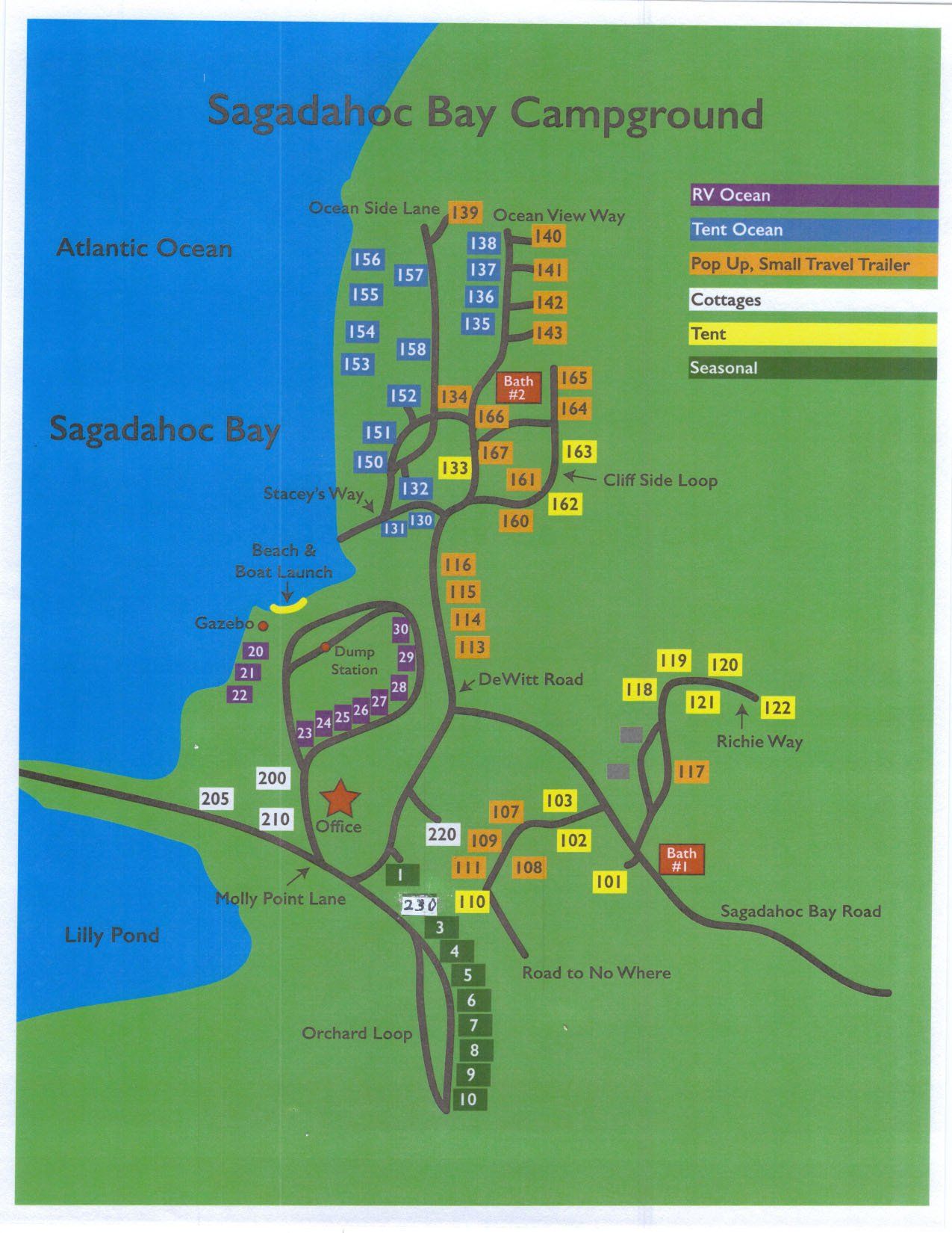
Sagadahoc Bay Campground is located in Mid Coast Maine near Bath, on the southern tip of Georgetown Island. Our latitude and longitude are: 43 46 00.0 N; 69 44 00.0 W. To locate us on your GPS use 93 Sagadahoc Bay Road or 9 Molly Point Lane, Georgetown, Maine 04548.
North from the Boston Area
495/95 North to Portland, Maine.
Exit 44 Portland or 52 Falmouth to 295 North to either Brunswick or Topsham
Exit 28 Brunswick or 31 Topsham to Rt. 1 to Bath
Cross the Kennebec River Bridge and take first right just in front of the Dairy Queen. (Best to get into the right hand lane coming across the bridge.) You are now on Rt. 127 South heading to Georgetown and Reid State Park. Follow the signs about 9 miles.
In Georgetown, take a right on Bay Point Road, and travel about 2.2 miles and take a left on Sagadahoc Bay Road. Follow the signs to the office.
South from Canada
If you are on 95, you should get off in Gardner and take 295 South to exit 31Topsham. Take a left at the intersection heading to Brunswick and Bath. On Rt. 1 you will be going North, and follow the directions above.
If you are traveling South on Rt. 1, take a right exit to Georgetown that is Rt. 127 South. (If you take a right at the Cumberland Farms you will be going North on 127 and you will be heading in the wrong direction.) Follow the directions above from the Dairy Queen.
If you think you're lost, call us at 207-371-2014